

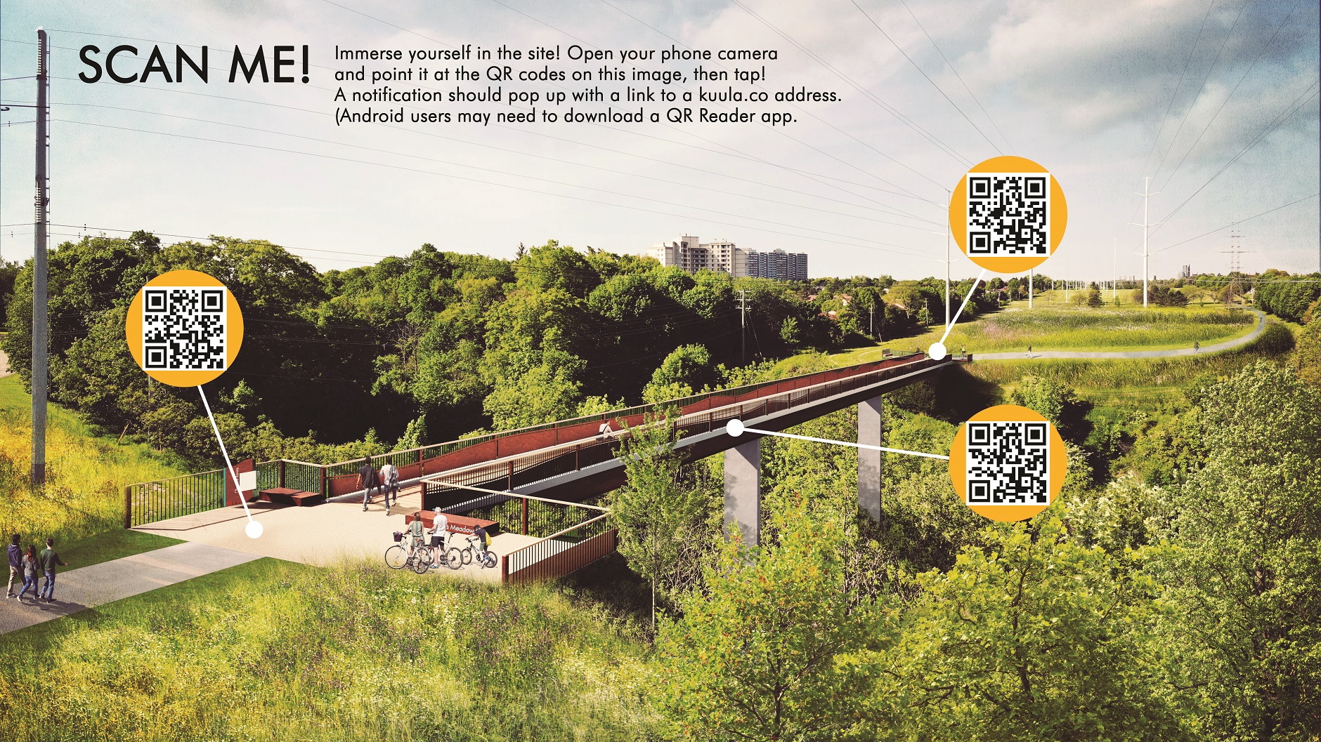
The Meadoway
可视化工具包
多伦多地区保护局 (TRCA) 与Perkins+Will和Future Landscapes合作开发了这一可视化工具包, 以展现The Meadoway可能的未来面貌。
这一工具旨在通过令人叹服的视觉识别和叙述方式来呈现The Meadoway的动人景观。该工具包囊括概念效果图、草图和动画。
探索工具包

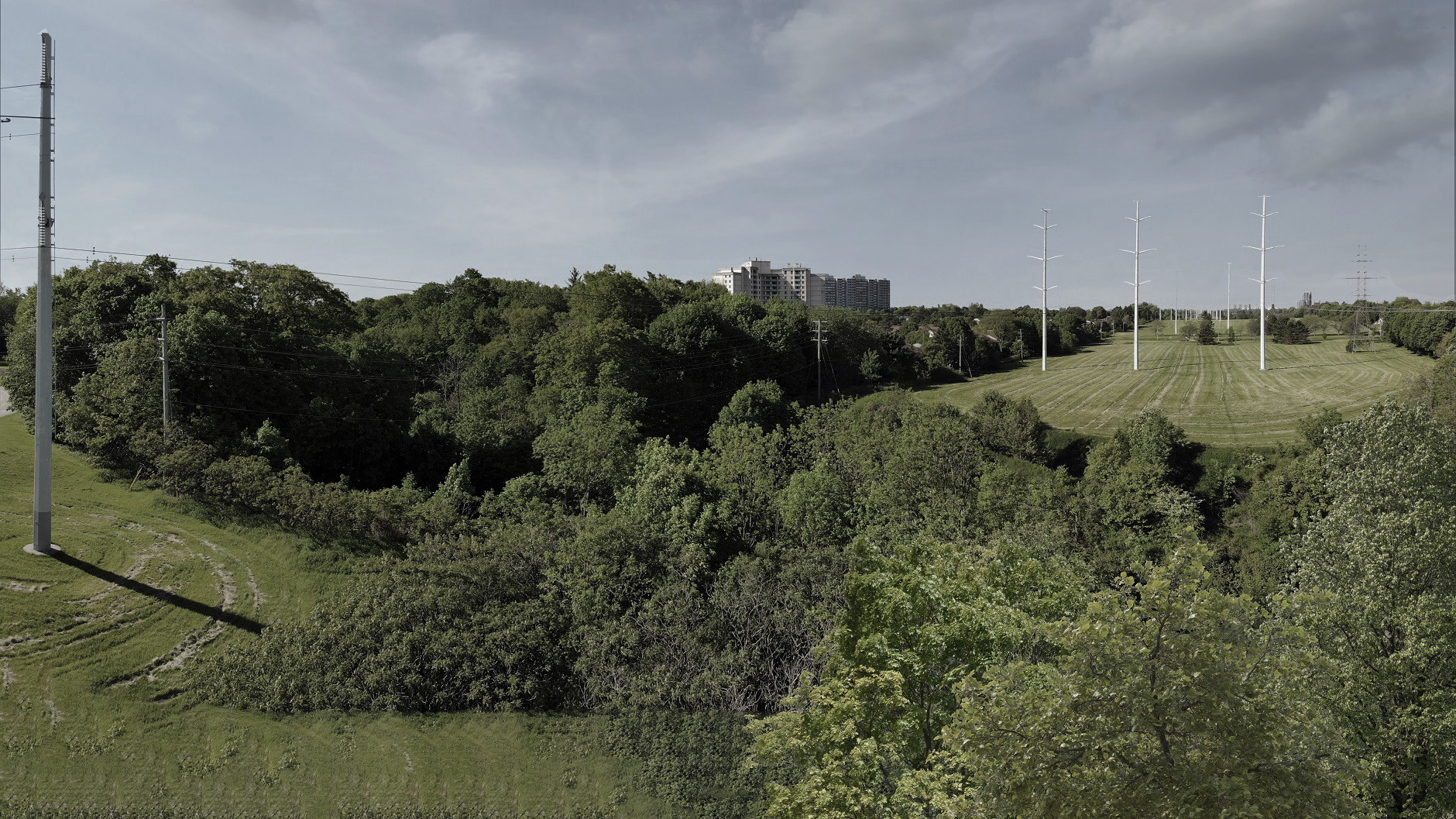
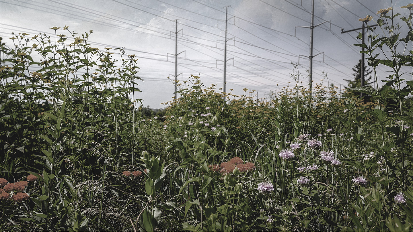
概念渲染图

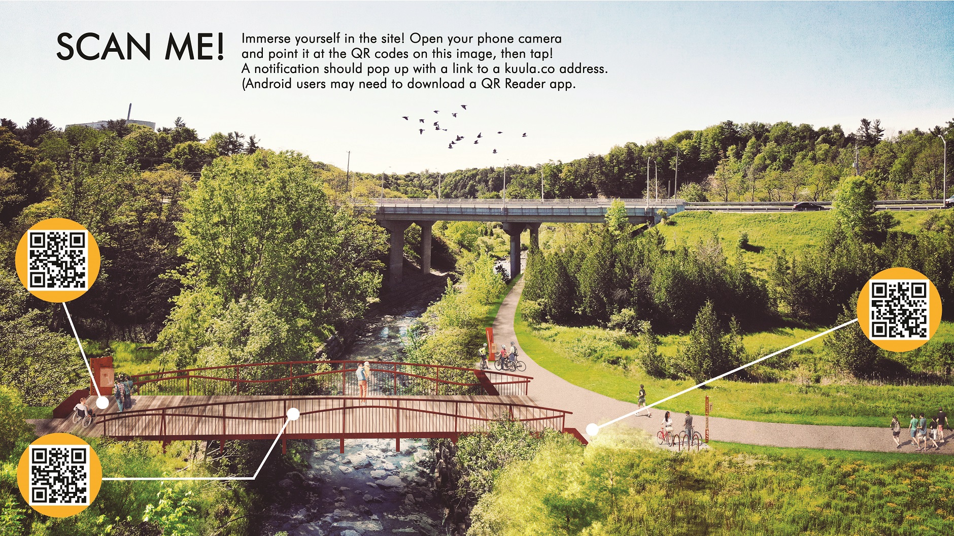

视频与动画
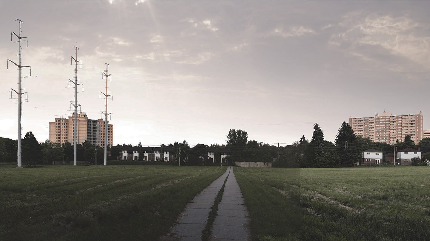
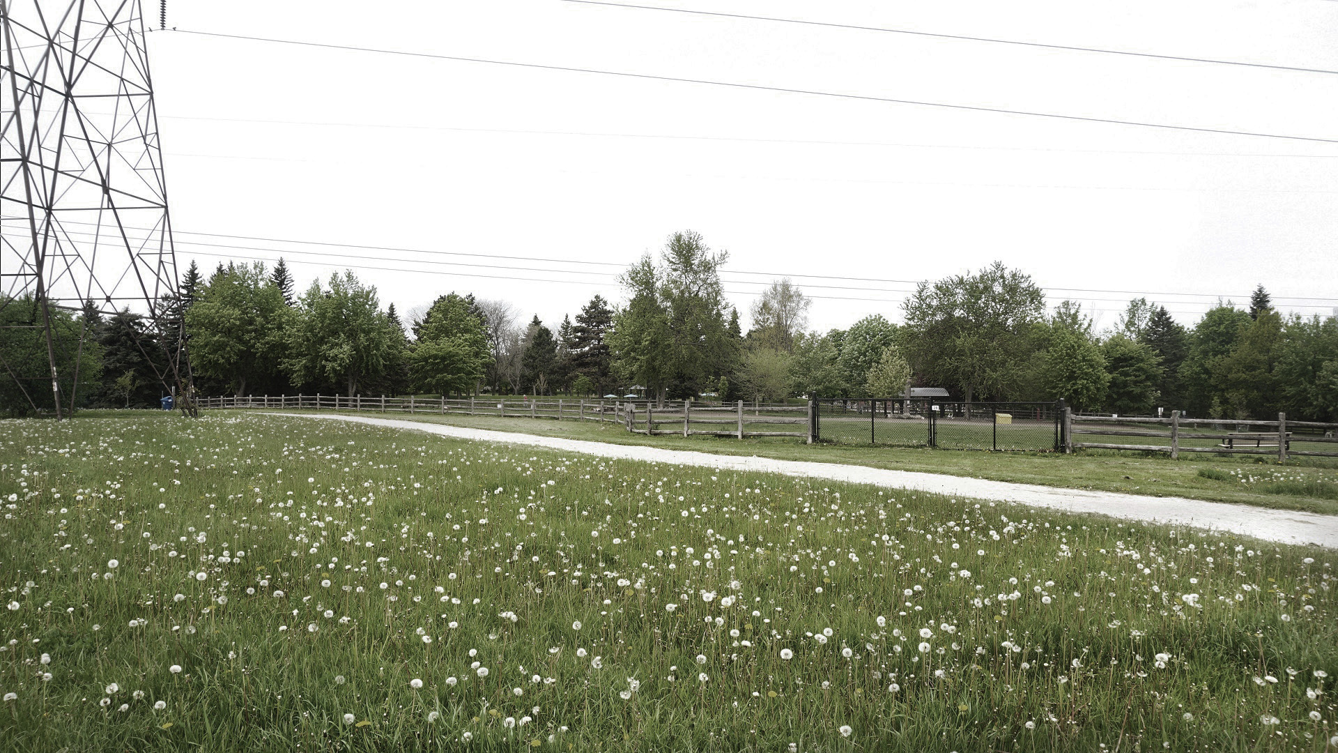
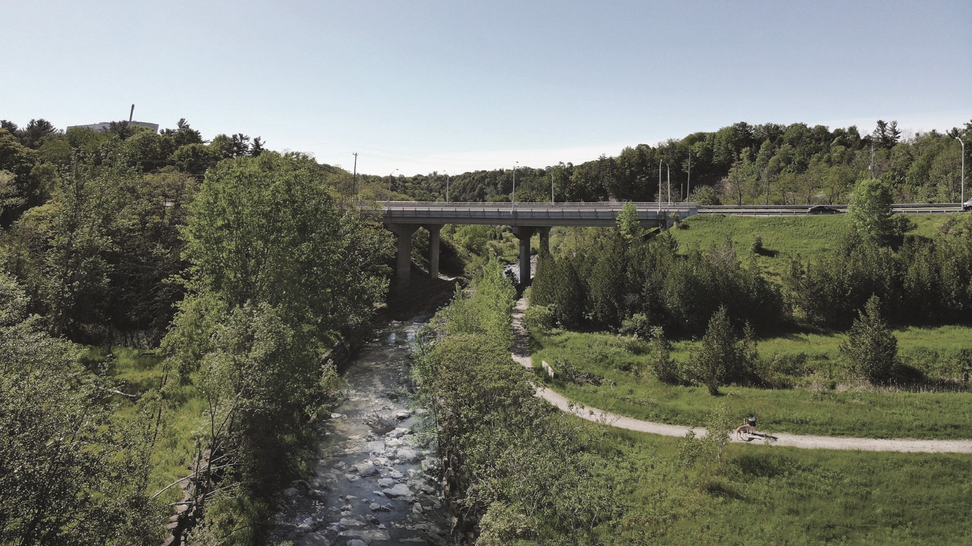
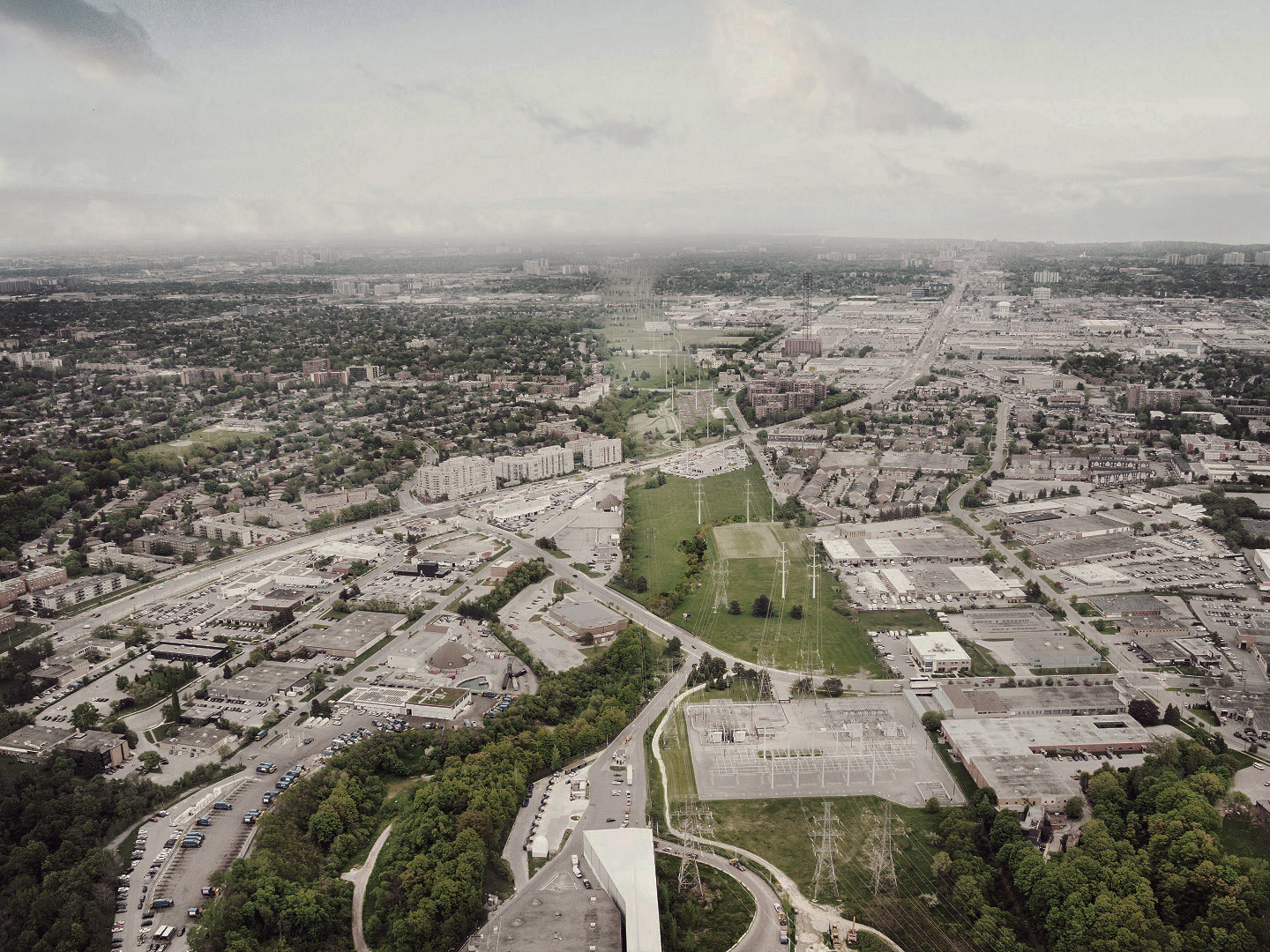
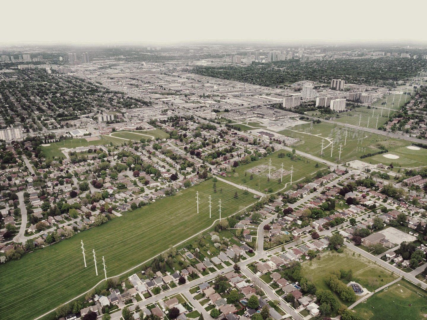
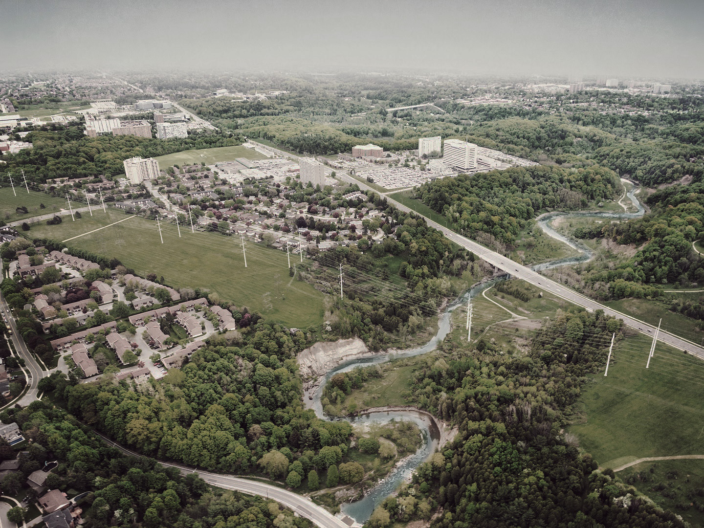
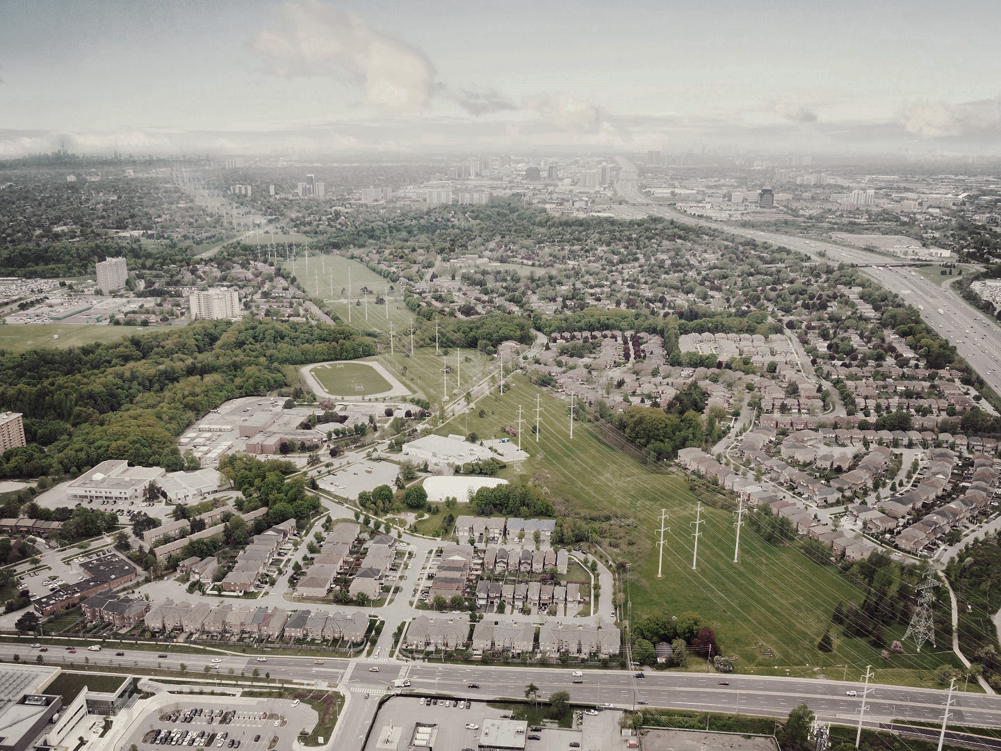
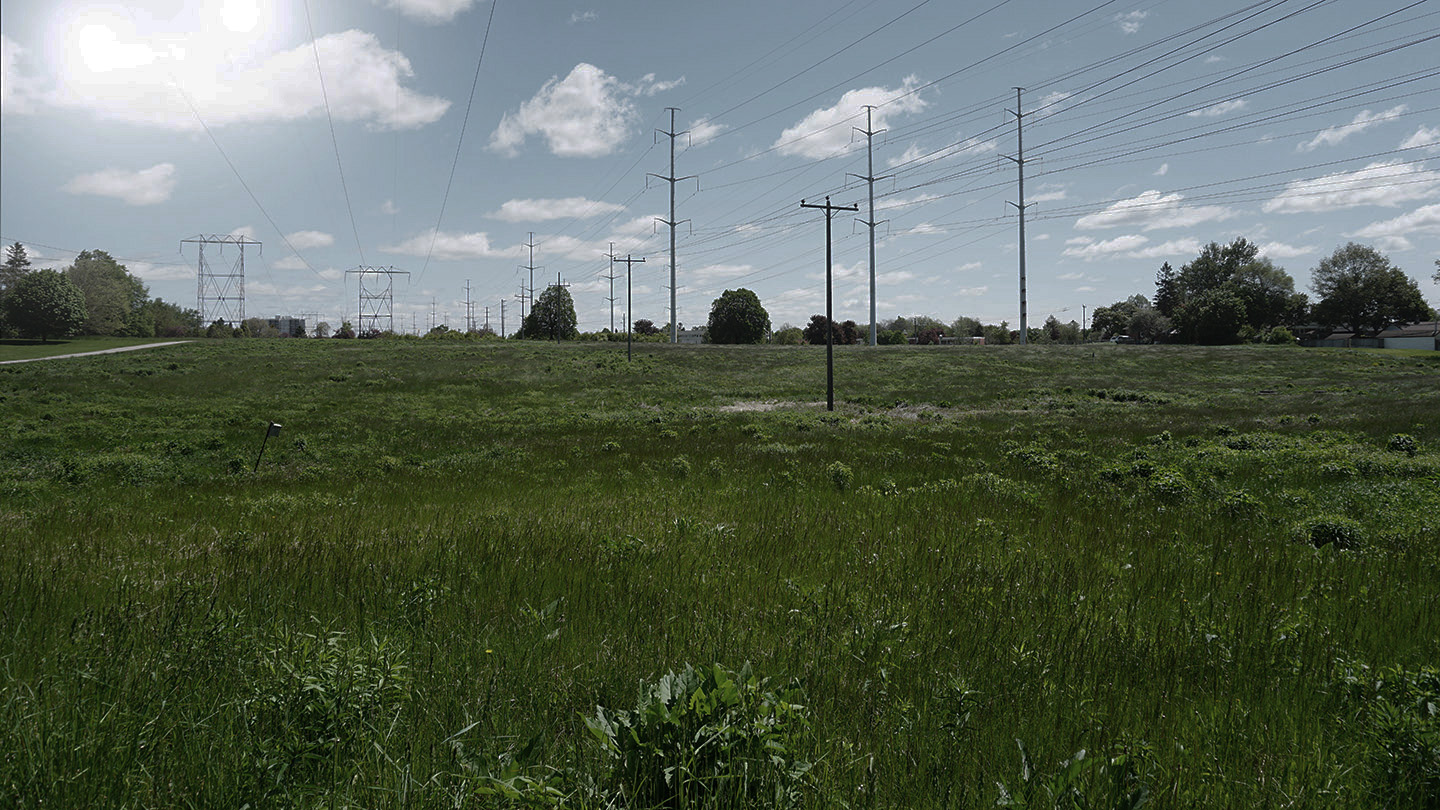
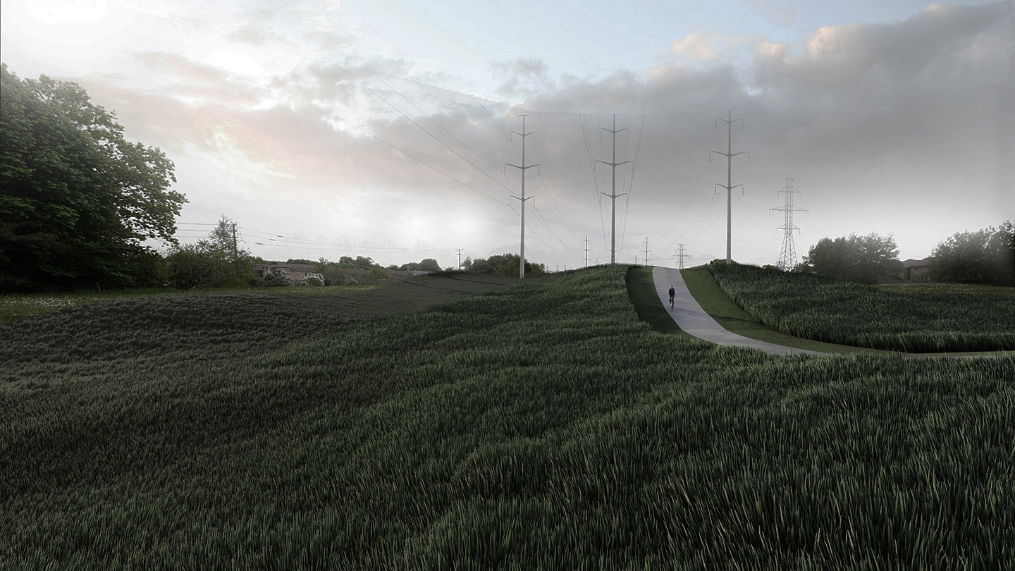
The Meadoway –今天
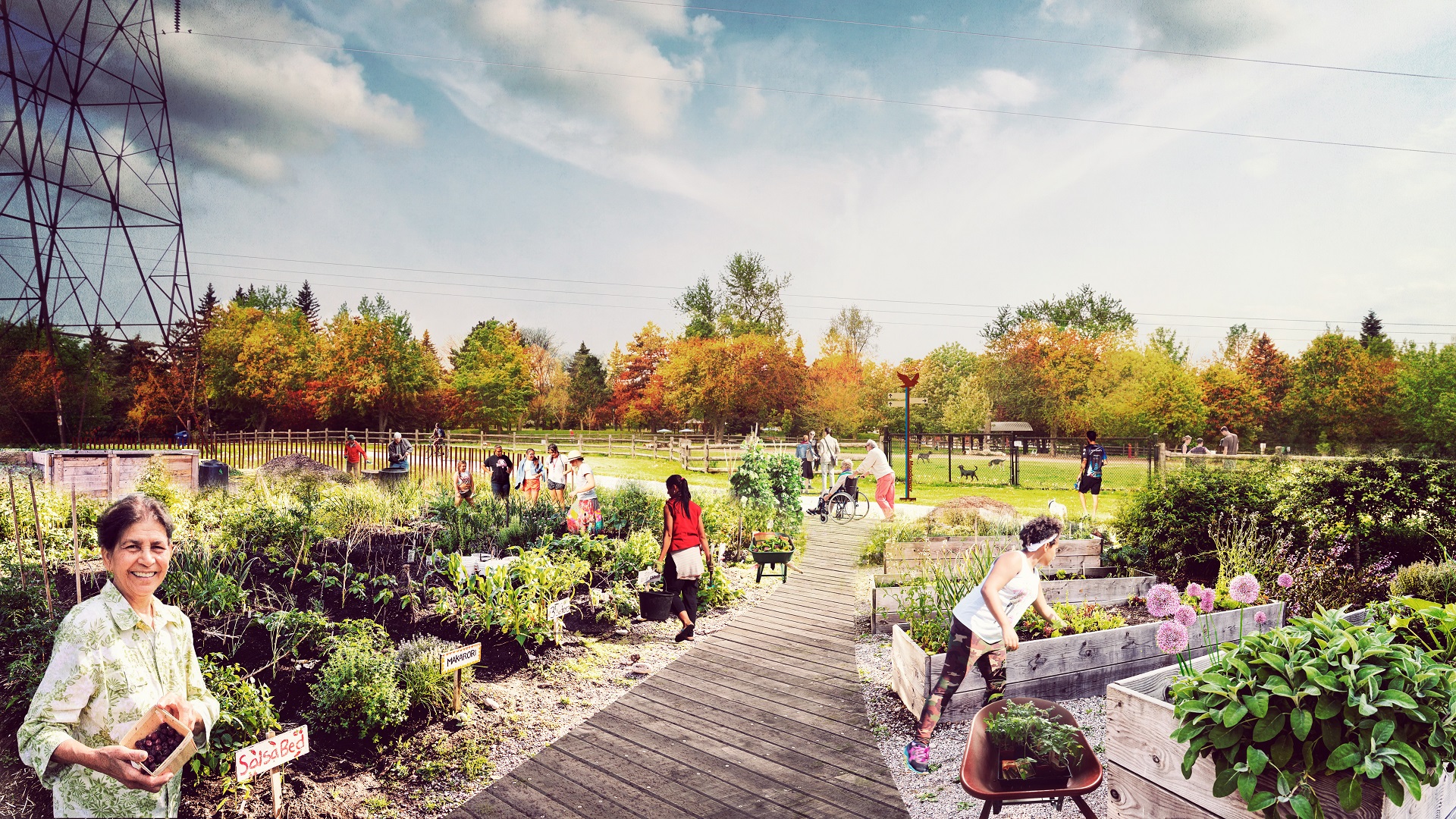
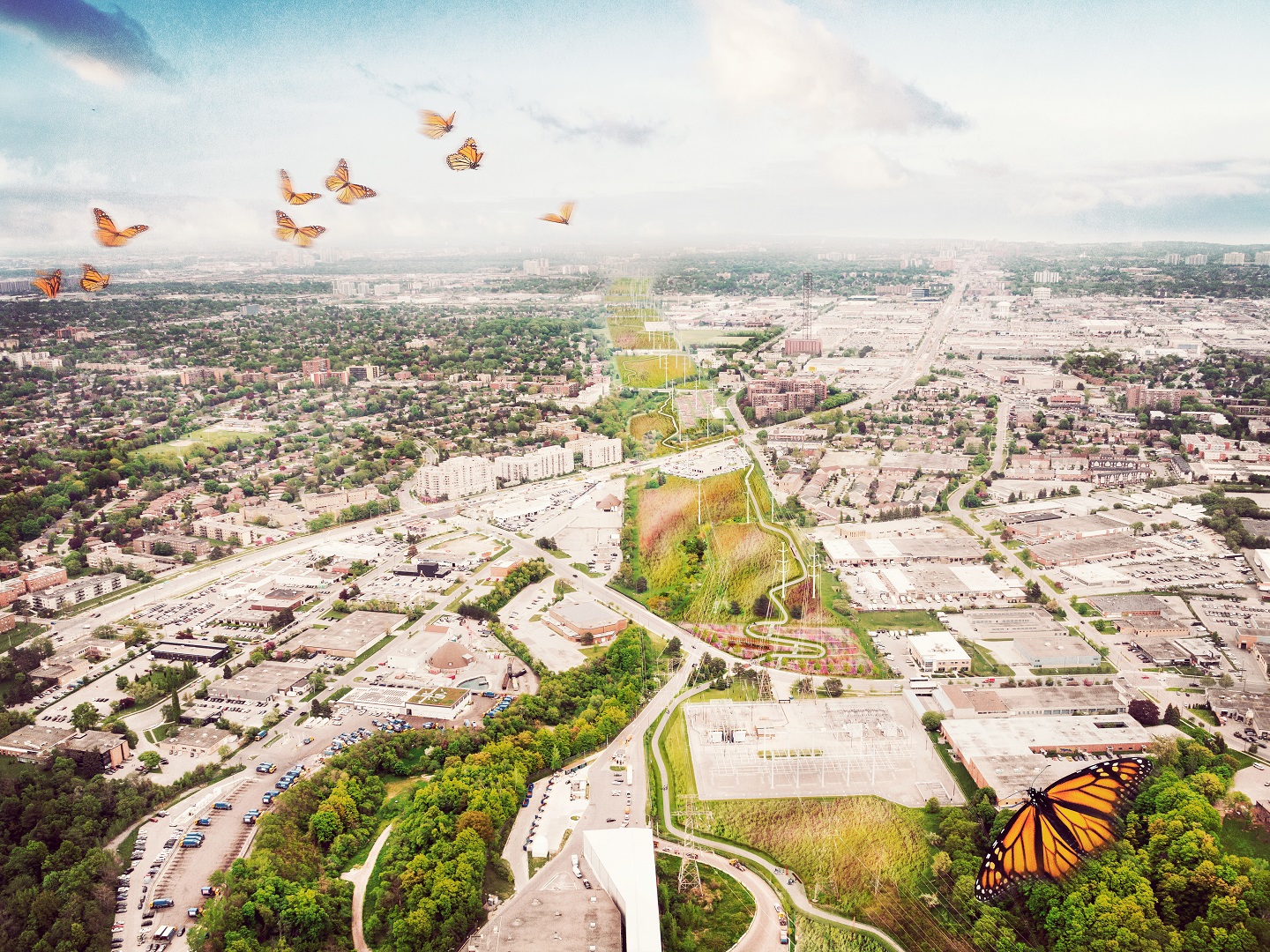
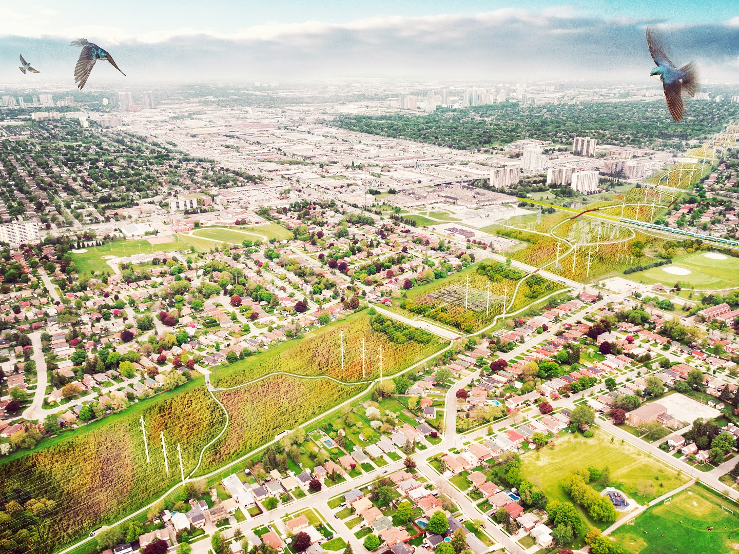
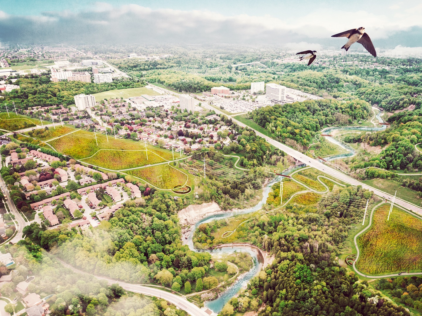
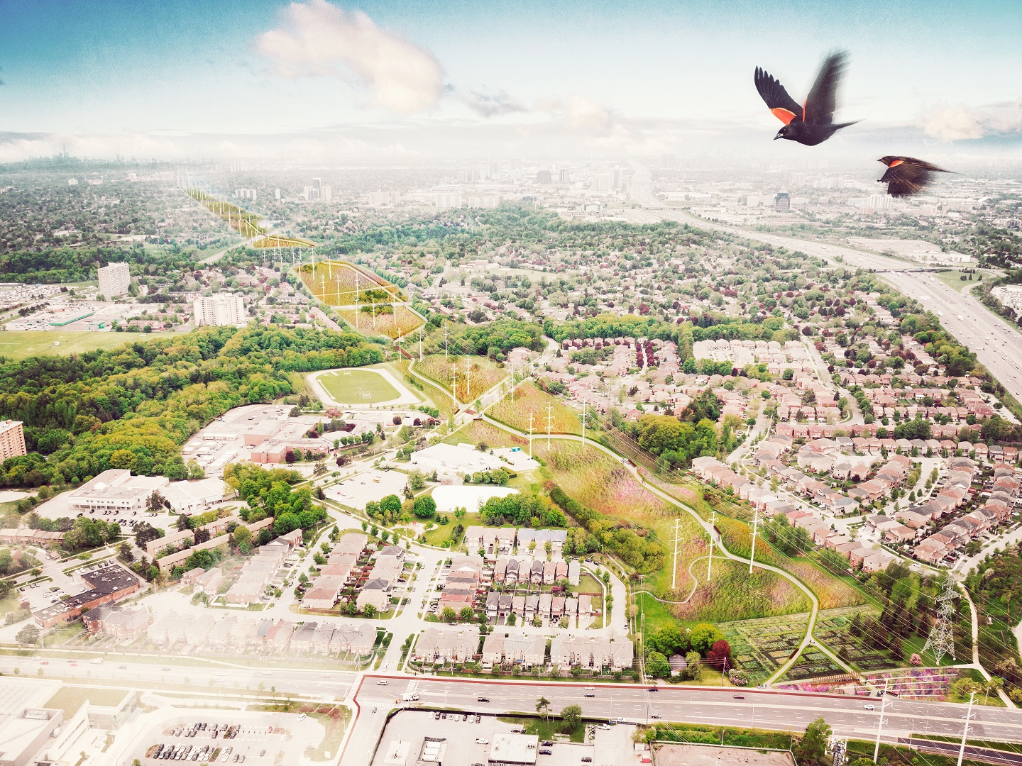
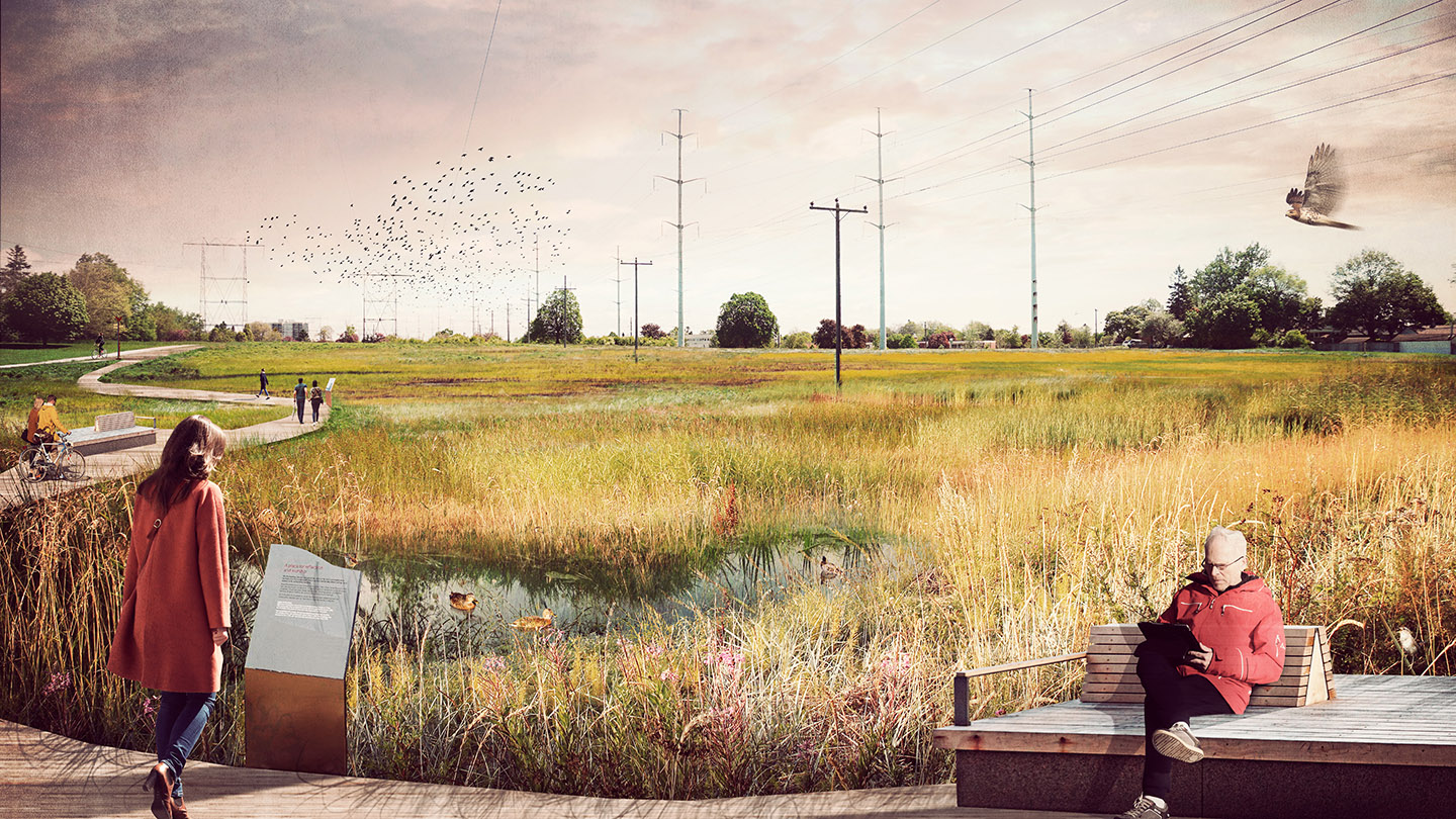
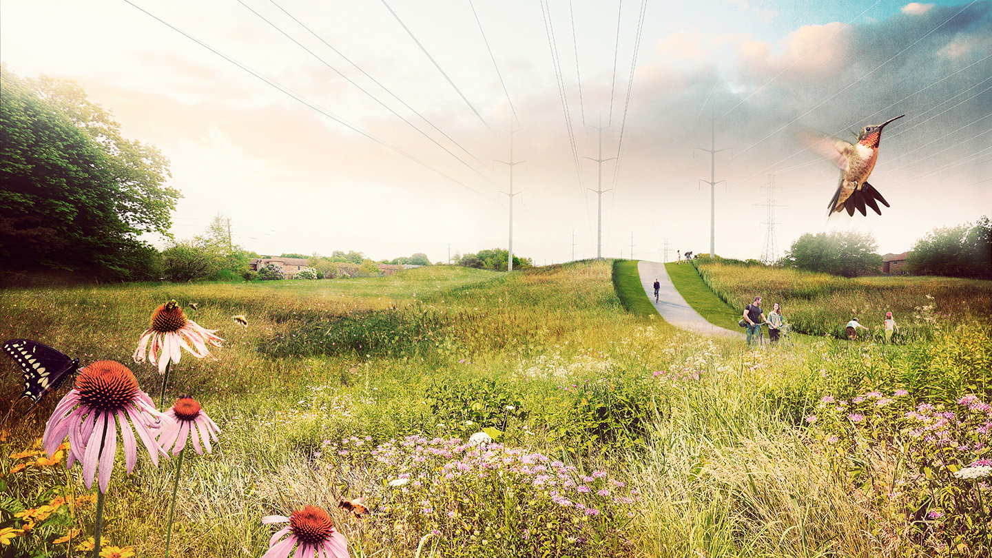
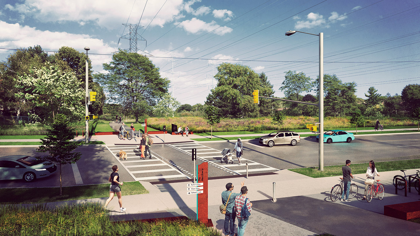
The Meadoway –明天
展望未来–分阶段战略
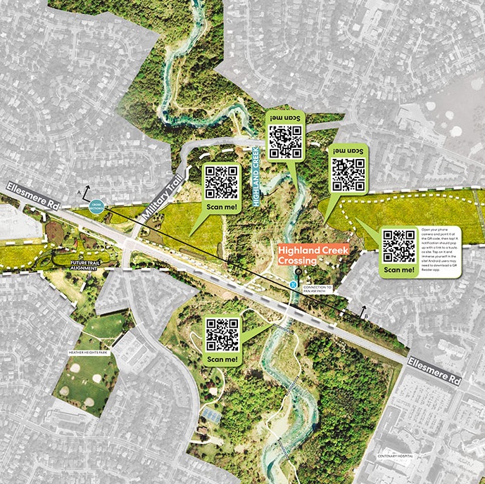
可视化工具包地图
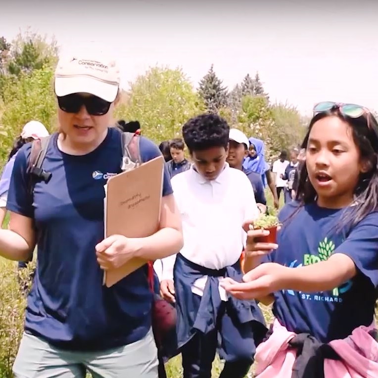
这张地图幅宽得到令人瞩目的七米,是作为我们开展公众参与活动的工具开发的。参与者可以查看The Meadoway的整个长度,指出存在机会的领域,并提供反馈。
地图的边缘显示各种各样的“小型活动”,可提供补充信息并鼓励进一步对话。
地图已完全标示,突出显示了社区联系、未来的步道路线、未来的交叉口和自然走廊。

可视化工具包报告
在为期一年的开发可视化工具包的项目开始时,Perkins和Will发布了一份包含案例研究和概述的详尽报告。
您可以在此处下载报告的PDF副本,或使用下面的文档阅读器查看报告。选择“立即阅读”以全屏查看;选择右侧的箭头前进到下一页。